Google Earth 7 brings new mobile features to the desktop

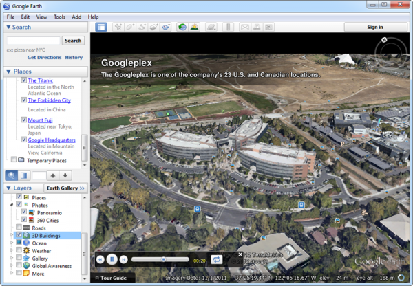
Google has updated its cross-platform 3D world exploration tool.Google Earth 7.0 gains functionality previously added to Google Earth for Mobile in the form of city tour guides and 3D imagery of cities. Google Earth 7’s tour guide provides pointers for local items of interest as users explore the world using the program. The launch of version 7 on desktop also comes with new sites added to the existing 3D imagery database.
Prior to the launch of Google Earth 7.0 on the desktop platform, 3D imagery was available for selected US cities only, with the likes of Boston, Denver, LA, Portland, San Diego, Seattle, Tampa and the San Francisco Bay Area among those featured. To view these cities in 3D, users need to manually switch on the feature by ticking the 3D Buildings option under Layers.
Google has subsequently added five new areas for users to fly through to coincide with the release of Google Desktop 7.0 on the desktop platform. These are Avignon in France, Munich and Mannheim in Germany, plus Austin and Phoenix from the US.
The new tour guide feature provides thumbnail previews of all pre-created tours local to the area currently being viewed -- clicking one takes the user on a fly-by of that location highlighting its historical, cultural and other famous sites, all accompanied by facts from Wikipedia.
These new features sit side-by-side with existing tools for exploring areas, including photos, businesses, places of interest and other amenities.Google Earth 7.0 is a freeware download for Windows, Mac and Linux.