Google Maps tackles deforestation with new views of the world's woods

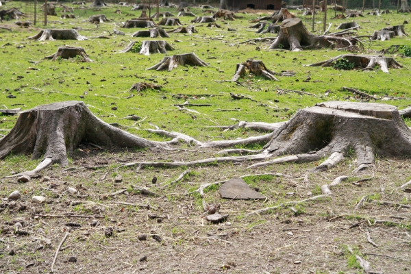
I haven't witnessed the devastation of the Amazon, but I've been fortunate, or unfortunate, enough to travel through the American Northwest, a place where "clear-cutting" ran rampant in the 80's. Today's laws have somewhat subsided that practice, but the Oregon and Washington areas are a small sample size on a vast, global scale.
Now Google Maps takes on the issue that faces everyone today -- we need the space, though less-so the paper, and certainly need the oxygen produced. The search giant has put together a new mapping program that is tracking the forests around the world -- or the dwindling numbers of them.
"Scientists have been studying forests for centuries, chronicling the vital importance of these ecosystems for human society. But most of us still lack timely and reliable information about where, when, and why forests are disappearing", states Crystal Davis, Director of Global Forest Watch at the World Resources Institute, and Dave Thau, the Developer Advocate at Google Earth Engine.
The search giant has teamed with more than 40 partners to monitor a situation that needs to concern us all. "By accessing the most current and reliable information, everyone can learn what’s happening in forests around the world. Now that we have the ability to peer into forests, a number of telling stories are beginning to emerge", the company states.
None of those stories are particularly encouraging -- the world lost a staggering 500 million acres of forest in the short span of 2000 to 2012. Google points out that equates to 50 soccer fields, every minute of every single day. The company also points out Brazilian tribes that are now isolated on islands of green surrounded by devastation.
You can head to Global Forest Watch to check all of this out, if you care to track the bad news. Perhaps the recognition by a major company will help a bit.
Image Credit: Kirill Livshitskiy / Shutterstock
