The aftermath of the Japan earthquake and tsunami in Google Maps
It's been almost five years since the infamous Japanese earthquake and tsunami event. On March 11, 2011 the cataclysmic natural disaster unfolded, seemingly before our eyes thanks to 24-hour news coverage. The world watched in horror and donations poured in for relief efforts.
While I doubt anyone has really forgotten that terrible day, it has faded in the memories, except for those who live there or have friends and relatives in the area.
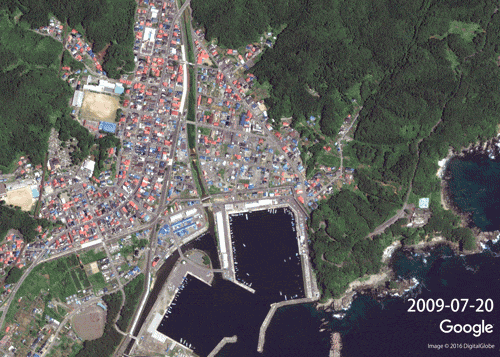
Google has continued to update images of the affected area to keep people abreast of the problems and the progress. Now, for the third time since the disaster, the search giant has updated its set of imagery for the area again.
"By using Street View technology to record, exhibit and archive the damage, we hope to give people -- both those who used to live there, and those who have never been -- a way to see and understand the destruction caused by the earthquake and tsunami. It may also give future generations a vivid way to understand and remember what happened", says Google.
While Fukushima was in the news, and was the hardest hit area, the damage was much more widespread, covering a vast area consisting of several prefectures. You can see what has been going on and what still needs to be done by going here.