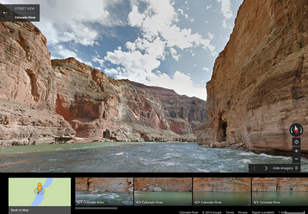
Google Street View paddles down the Colorado River

Despite its name, which stems from the location of origin, the Colorado River is most famous for its winding path through the Grand Canyon in Arizona. From there, it makes its way on to Baja in Mexico and finally a terminus at the Gulf -- a 1,450 mile journey.
If you haven’t seen the river, or the canyon (and I highly recommend doing so) then Google Street View will now give you a sense of what it is like. The search giant teamed up with American Rivers to capture the images seen in this latest update.
"Now with Google Street View, you can ride the whitewater rapids, cruise the sleepy river bends, and discover the side canyons that make the Colorado River a treasured resource", states American Rivers' Chris Williams, who is the senior vice president of conservation.
The journey will not take you all the way from the Rockies to the Gulf of California, but focuses on the canyon that the river carved out over some six million years.
But while you enjoy the scenery, remember that there is a sobering note to all of this. Williams points out that "While you admire its grandeur, remember that the river is also at risk. One of the United States’ most important resources, the Colorado River provides drinking water for 36 million people from Denver to Los Angeles, supports a $26 billion recreation industry, and irrigates nearly 4 million acres of land that grow 15 percent of our nation’s crops. But it’s also one of the most endangered, dammed, diverted and plumbed rivers in the world, thanks to a century of management policies and practices that have promoted the use of Colorado River water at an unsustainable rate. By the time it reaches the Gulf of California in Mexico, the river is barely a trickle -- a ghost of its once magnificent self".
So enjoy the views, but keep the problems in mind as you do so. We'd all like our grandkids to get to see this as well.
